

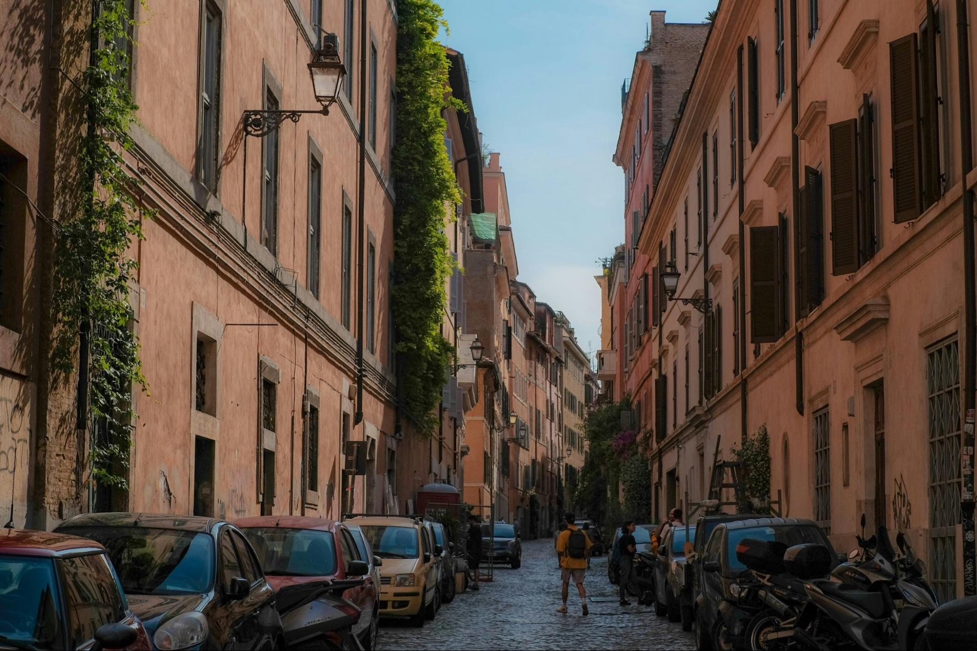
Rome’s Metro and buses largely bypass the historical core, so independent travelers need to cover the Centro Storico on foot. Walking links ancient ruins, Renaissance piazzas, and medieval lanes in a way no vehicle can, provided you plan routes ahead and stay observant.
The Logistical Reality of the Centro Storico
On my first visit, I assumed Rome’s Metro would carry me to the heart of things the way it does in other European capitals. It does not. Lines A and B skirt the edges of the Centro Storico, and for good reason: every time engineers dig beneath Rome, they hit archaeology. Line C construction is gradually improving transport links, but the area around the Pantheon and Piazza Navona still lacks direct Metro access. Walking continues to be the primary way to move through the Centro Storico. That firsthand frustration is why I built this Rome walking guide around logistics rather than a checklist of sights.
The buses that are supposed to fill the gap are a gamble. Routes through the narrow center are slowed by traffic, double-parked delivery vans, and cobbled lanes that were laid out centuries before engines existed. I waited 25 minutes for a bus near Largo di Torre Argentina that, according to the posted schedule, should have arrived in eight. After a few days of this, I stopped treating the bus map as a plan and started treating it as a rumor.
The sheer scale and chaotic traffic of the Centro Storico can easily overwhelm independent travelers on day one. Rather than relying on unpredictable bus schedules, I found that spending a first morning exploring Rome on foot with an expert was a crucial logistical decision. In roughly three hours, the walk stitched together the relationships between the Pantheon, Piazza Navona, Campo de’ Fiori, and the Tiber River, and it gave us the geographical confidence to navigate the sampietrini cobblestones independently for the rest of the trip.
The conclusion is simple. Walking in Rome is not a preference or a romantic notion. For Rome independent travel, it is a logistical necessity, and the sooner you plan around it, the more of the city you will actually see.
Reading the Layers of Roman History on Foot
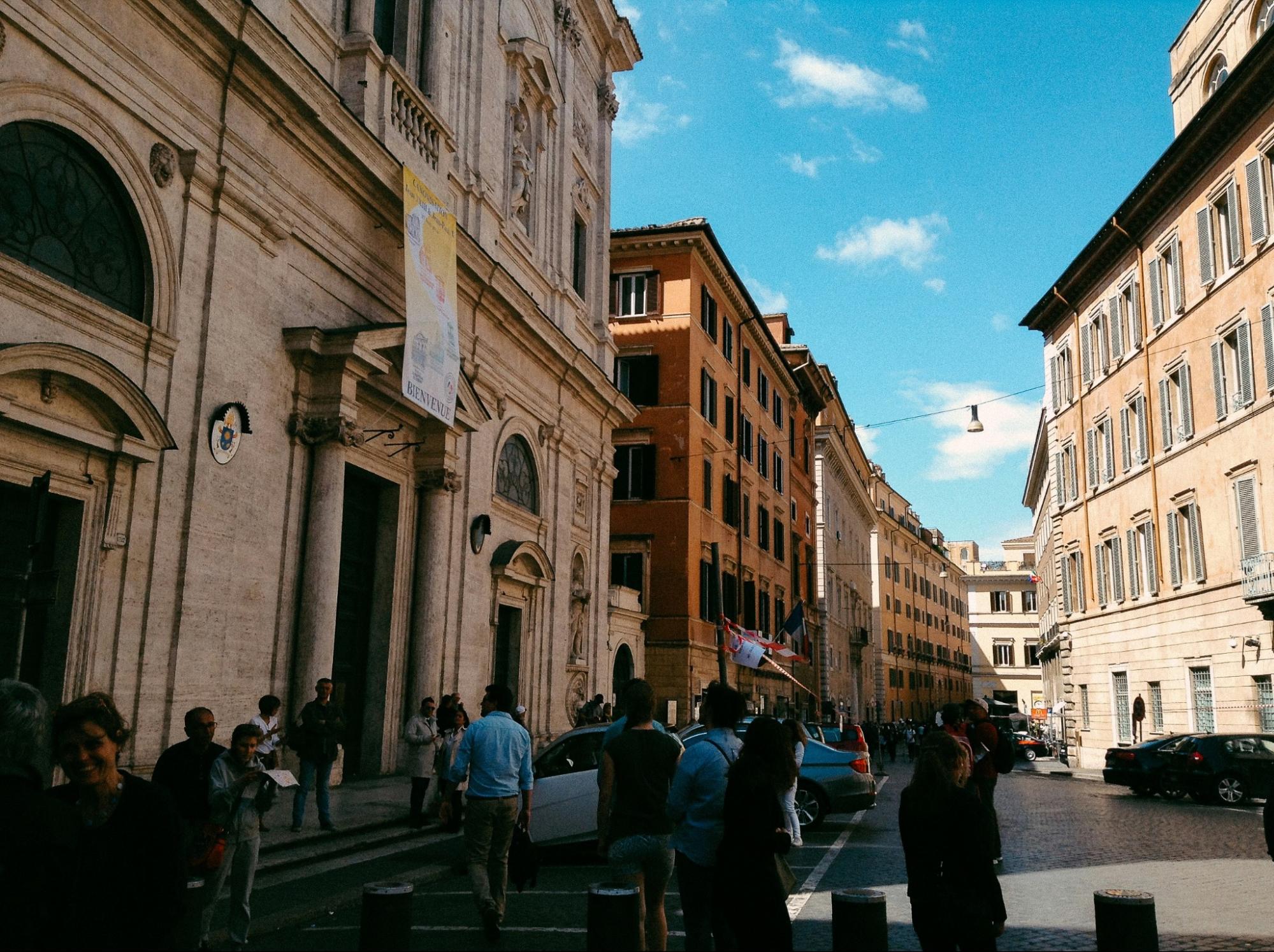
Exploring ancient Rome on foot is the only way I have found to physically see how Rome’s eras overlap. Near Campo de’ Fiori, a Renaissance palazzo rises from the curved footprint of the Theatre of Pompey, and the bend in the street outside still follows the curve of the ancient theatre’s seating. At the Pantheon, you step down from the modern piazza level into a building whose Roman concrete dome has stood for nearly 1,900 years. A bus window flattens all of this into a blur. On foot, you notice the medieval house fused to a column, the Baroque church squeezed between two older walls, and the way the street level slowly rises over centuries of accumulated rubble.
The physical reality of this walking is demanding. The sampietrini, the small basalt blocks that pave much of the center, are polished smooth by centuries of footsteps and uneven enough to punish a careless stride. After a day of rain, they turn slick. In July, the travertine facades and stone paving soak up the sun and radiate heat well into the evening, so a shaded alley can feel noticeable degrees cooler than the open piazza. The transition is abrupt: you leave a lane barely three arm-spans wide and emerge, blinking, into the vast openness of Piazza Navona.
Footwear matters more than fashion here. I walk Rome in broken-in shoes with cushioned soles and real grip, and I carry nothing heavy. Thin leather soles and heels are a mistake on the sampietrini, and new shoes are a bigger one. My rule is to plan for 12,000 to 20,000 steps a day and dress your feet accordingly.
Navigating Ancient and Medieval Neighborhoods
The Centro Storico is compact, but its zones differ sharply in terrain and rhythm. The key to navigating Centro Storico is understanding how the districts link together, because that is what turns a confusing maze into a walkable sequence.
|
Historical Zone |
Key Landmarks |
Logistical Walking Notes |
|
Pantheon and Piazza Navona |
Pantheon, Piazza Navona, Sant’Ivo alla Sapienza |
Mostly flat but heavy with sampietrini; 300 meters apart; crowds peak from 10:00 to 16:00 |
|
Campo de’ Fiori |
Campo de’ Fiori market, Theatre of Pompey remains |
Market stalls fill the square until about 14:00; the lanes toward Via Giulia are narrow and quiet |
|
Jewish Ghetto |
Portico d’Ottavia, Great Synagogue, Teatro di Marcello |
About 500 meters from Campo de’ Fiori; short, flat, and easy to cover; many streets are shaded |
|
Tiber Island and Trastevere |
Ponte Fabricio, Santa Maria in Trastevere |
Roughly 700 meters from the Ghetto across the Tiber River; crossing is pedestrian-friendly, but Trastevere’s alleys are steep and uneven |
|
Ancient Core |
Roman Forum, Colosseum, Capitoline Hill |
A 25 to 30 minute walk from the Pantheon; exposed to full sun with little shade and steps on the Capitoline approach |
What I like about this layout is that nothing is far. You can drift from the Pantheon through the Ghetto to Trastevere in about an hour of unhurried walking, and each step takes you through a different century. The only real mistake is trying to do it all in a single afternoon.
Essential Survival Tactics for Pedestrians
The first skill to learn is crossing the street. Crosswalks in Rome are suggestions, and drivers rarely stop for hesitation. What works is what I came to call the Roman cross: wait for a gap, step off the curb with purpose, keep a steady pace, and make eye contact with approaching drivers. Never dart or stop halfway. Drivers calculate your path, and they can only avoid you if it stays predictable.
The second skill is finding water. Rome has roughly 2,500 nasoni, the iron public drinking fountains marked by a curved spout, and they run constantly with cold water fed by the city’s aqueduct system. I refilled a bottle at one almost every hour in summer and never paid for bottled water. It is the single biggest comfort upgrade for a day on the stones.
The third is eating and drinking without being fleeced. Sidewalk tables facing the Pantheon and Piazza Navona carry a premium for the view, and sitting often triggers a table charge. An espresso consumed standing at the bar usually costs between €1.20 and €1.80. Take the same coffee at a table on a major piazza and the bill can climb to €4 to €7. I drink my coffee standing, the way locals do, and walk two streets off the main squares for lunch. A menu with photographs and a host calling out to you is usually a sign to keep walking.
Finally, there is an old local saying worth remembering: “Roma non è stata costruita in un giorno”, or Rome wasn’t built in a day. It is the best planning advice I know. Budget three or four days for the Centro Storico alone, and let the city reveal itself at the pace of your footsteps.
Frequently Asked Questions About Walking in Rome
Is it safe to drink from public water fountains in Rome?
Yes. The nasoni are connected to Rome’s municipal water supply and are tested regularly, and the system draws on the same aqueduct tradition that has supplied the city for over two millennia. To drink comfortably, press a finger over the front of the spout. Water is forced through a small hole on top and arcs upward like a drinking fountain. Avoid fountains marked “non potabile,” which are rare and usually decorative.
Are there public restrooms available while walking in Rome?
Public restrooms are scarce in the Centro Storico. The practical strategy is to buy a €1.50 espresso at a bar, drink it standing, and ask to use the facilities. Most baristas expect this exchange. Larger museums, train stations, and some paid facilities near major sites are alternatives, but plan your stops rather than hoping for one.
How accurate are digital maps in the narrow Roman alleys?
Less accurate than you might expect. GPS signals often bounce between tall stone buildings in the historical center, so the blue dot can drift by half a block or spin in circles. I memorize key monuments as navigational anchors, such as the Pantheon dome, the Tiber River embankment, and the bell towers of major churches, and use the map only to confirm direction. Downloading offline maps before you leave your lodging helps too.
